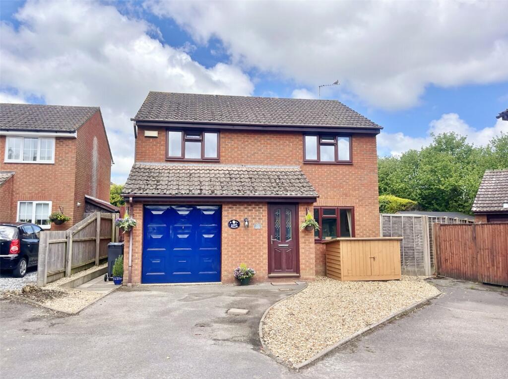
Buyer Information Report

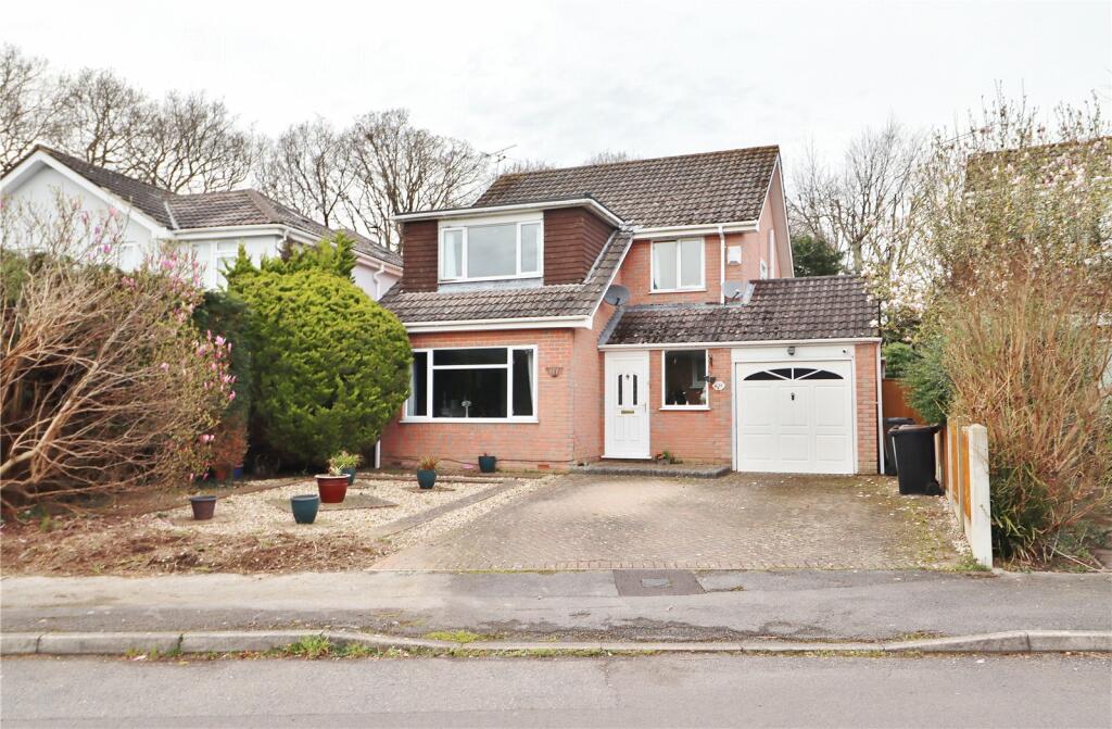
9 Haywards Farm Close
Verwood, BH31 6XW
Last Sold - Nov, 2018


Key Facts
About Us

Your Local Five Star Estate Agents
If you’re looking for an estate agency that offers a genuine and friendly approach, then you are in the right place. Our reliable and honest advice is the foundation of our bespoke service, tailored just for you.
Whether you are seeking to buy or sell residential property, including Land and Development and Equestrian properties, character New Forest homes or town centre properties, we are perfectly placed to offer expert advice on properties in Hampshire and Dorset.
Find out more at www.fellsnewforest.co.uk
Generate a property report for your own property
Title Plan
 Contains OS data © Crown copyright 2024
Title Information
Details provided by the Land Registry
- Title Number
- DT141971
- Plot Size
- 0.13 acres (514 sq metres)
House Prices in Dorset
Last 12 months
-
Average Price Change
£2,761
Increased by 1%
-
Detached Price Change
£1,202
Increased by 0%
Average House Prices
Last 12 months for all property types.
Since - June 2019
-
Average Price Change
£65,126
Increased by 23%
-
Detached Price Change
£96,558
Increased by 23%
Average House Prices
Since 2019 for all property types
EPC

EPC Information
Details taken from the EPC register
- Date
- 2018-08-07
- Valid Until
- 2028-08-06
- Energy Efficiency - Current
- 74
- Energy Efficiency - Potential
- 85
- Environmental Impact - Current
- 70
- Environmental Impact - Potential
- 82
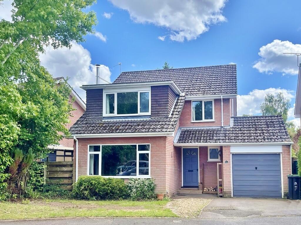
Properties For Sale in the Area

Haywards Farm Close
Haywards Farm Close
12 metres away
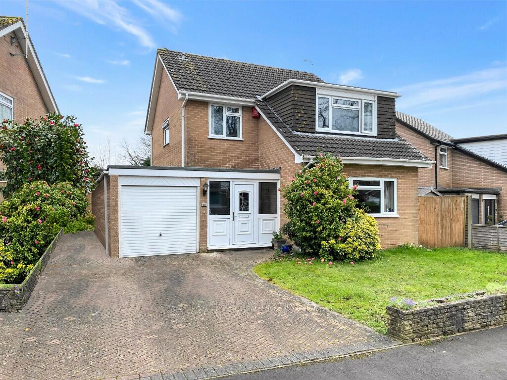
Holly Grove
46 metres away
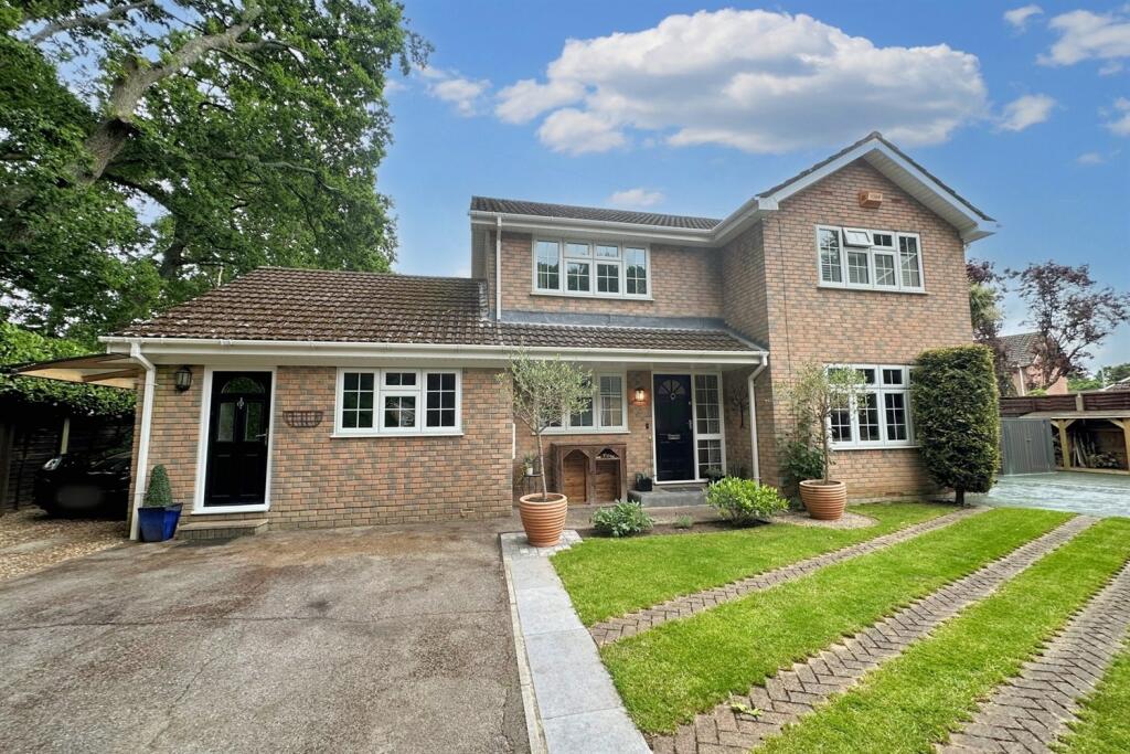
Hayward Crescent
98 metres away
Verwood
0.10 km away
Holly Grove
0.11 km away
Schools
| Name | Type | Postcode | Distance | Rating |
|---|---|---|---|---|
| Verwood Church of England First School | Nursery, Primary | BH31 6JF | 0.12 km | Not rated |
| Emmanuel Middle Church of England Middle School | Primary, Secondary | BH31 6JF | 0.14 km | Not rated |
| Hillside Community First School | Primary | BH31 7HE | 1.25 km | Not rated |
| Trinity Church of England First School | Primary | BH31 7PG | 1.43 km | Not rated |
| Three Legged Cross First and Nursery School | Nursery, Primary | BH21 6RF | 2.14 km | Not rated |
Transport
Bus Stops & Stations
Details provided by Department for Transport
| Name | Distance |
|---|---|
| Bridleways | 0.35 km |
| Bridleways, Dewlands Way | 0.36 km |
| Glenwood Road | 0.48 km |
| Church Hill, Dewlands Way | 0.59 km |
| Redmans View, Dewlands Way | 0.60 km |
Nearest Motorway
Details provided by Department for Transport
| Name | Distance |
|---|---|
| M27 | 21.41 km |
Coverage
- Average Broadband Speed:
-
15mb Basic
-
39mb Superfast
-
1000mb Ultrafast
-
1000mb Overall
- Mobile Coverage:
-
EEGood
-
O2Okay
-
ThreeOkay
-
VodafoneOkay
5-7 Southampton Road, Ringwood, Hampshire, BH24 1HB
Recently Sold Properties in the Area
| Address | Property Type | Distance | Price | Completed |
|---|---|---|---|---|
|
5 Haywards Farm Close Verwood, BH31 6XW |
Detached | 61 metres away | £570,000 | 3 months ago |
|
55 Hayward Crescent Verwood, BH31 6JS |
Detached | 0.13 km away | £465,000 | 9 months ago |
|
23 Holly Grove Verwood, BH31 6XA |
Detached | 0.15 km away | £482,500 | 6 months ago |
|
26a, Hayward Crescent Verwood, BH31 6JT |
Detached | 0.21 km away | £520,000 | 10 months ago |
|
26 Keswick Way Verwood, BH31 6HP |
Detached | 0.21 km away | £508,000 | 4 months ago |
|
51 Hayward Way Verwood, BH31 6HS |
Detached | 0.24 km away | £490,000 | 10 months ago |
|
8 Hayward Crescent Verwood, BH31 6JT |
Detached | 0.27 km away | £485,000 | 2 months ago |
|
35 Hayward Way Verwood, BH31 6HS |
Detached | 0.28 km away | £570,000 | 9 months ago |
|
62 Howe Lane Verwood, BH31 6JF |
Detached | 0.29 km away | £422,000 | 10 months ago |
|
55 Howe Lane Verwood, BH31 6JF |
Detached | 0.29 km away | £535,000 | 4 months ago |
Important Notice - This report is intended for general informational purposes only and should act only as a guide. The report is produced automatically on behalf of Fells New Forest - Fells New Forest Property by Street Insights, a product of Street Systems Ltd. Street Systems maintains and aggregates data from multiple public data sources and whilst every effort is made to keep information up to date and accurate, we make no representations or warranties of any kind about the accuracy, reliability or completeness of the information contained within this report for any purpose. Any reliance you place on the data contained within this report is strictly at your own risk. In no event will Fells New Forest - Fells New Forest Property or Street Systems Ltd be liable for any loss or damage including without limitation, indirect or consequential loss or damage, or any loss or damage whatsoever arising from loss of data or profits arising out of, or in connection with, the use of this report.
This report contains public sector information licensed under the Open Government License v3.0
Transaction data and HPI data is produced by HM Land Registry. Crown copyright and database rights 2024