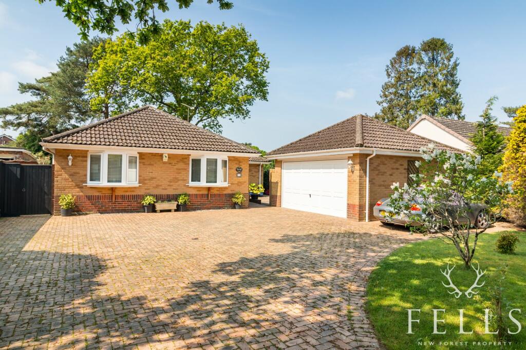
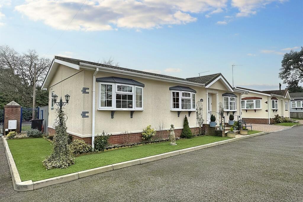
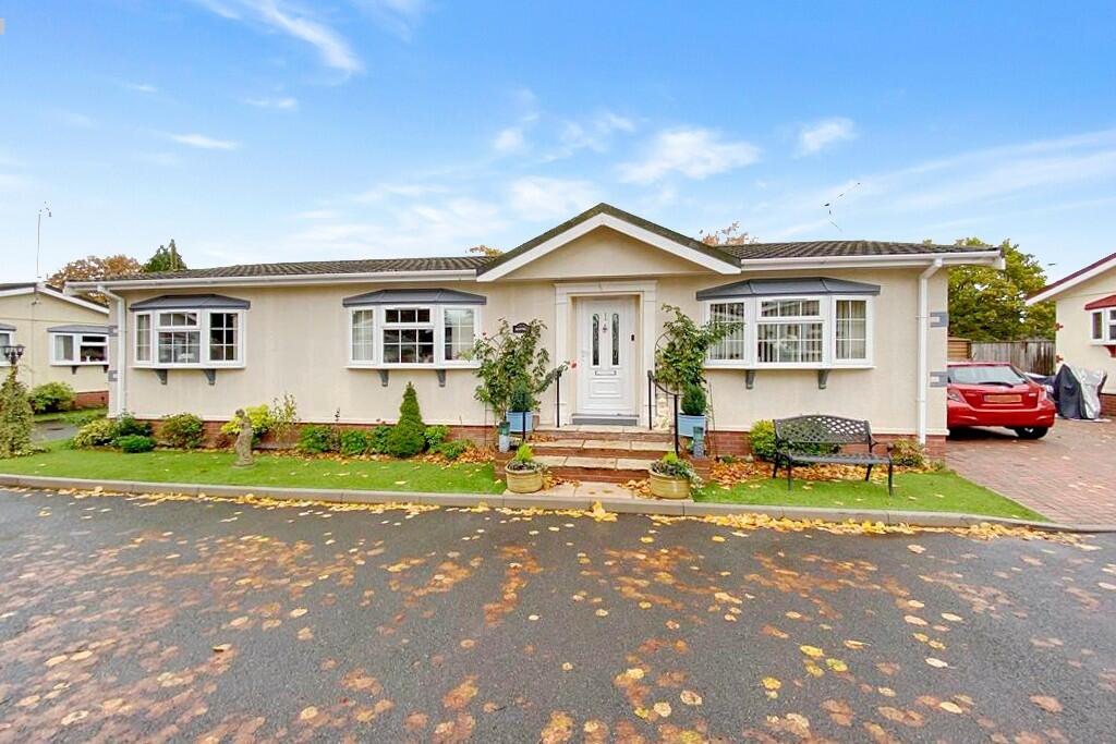
Buyer Information Report

15 St. Ives End Lane
St. Ives, Ringwood, BH24 2PB
Last Sold - Oct, 2015

Key Facts
About Us

Your Local Five Star Estate Agents
If you’re looking for an estate agency that offers a genuine and friendly approach, then you are in the right place. Our reliable and honest advice is the foundation of our bespoke service, tailored just for you.
Whether you are seeking to buy or sell residential property, including Land and Development and Equestrian properties, character New Forest homes or town centre properties, we are perfectly placed to offer expert advice on properties in Hampshire and Dorset.
Find out more at www.fellsnewforest.co.uk
Generate a property report for your own property
Title Plan
 Contains OS data © Crown copyright 2024
Title Information
Details provided by the Land Registry
- Title Number
- DT124190
- Plot Size
- 0.21 acres (867 sq metres)
Street View
House Prices in Dorset
Last 12 months
-
Average Price Change
£5,740
Increased by 2%
-
Detached Price Change
£6,099
Increased by 1%
Average House Prices
Last 12 months for all property types.
Since - July 2019
-
Average Price Change
£69,575
Increased by 24%
-
Detached Price Change
£103,709
Increased by 25%
Average House Prices
Since 2019 for all property types
EPC

EPC Information
Details taken from the EPC register
- Date
- 2015-03-12
- Valid Until
- 2025-03-11
- Energy Efficiency - Current
- 66
- Energy Efficiency - Potential
- 81
- Environmental Impact - Current
- 59
- Environmental Impact - Potential
- 76
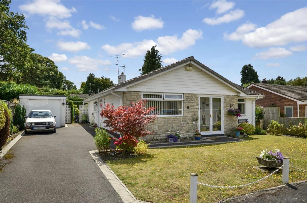
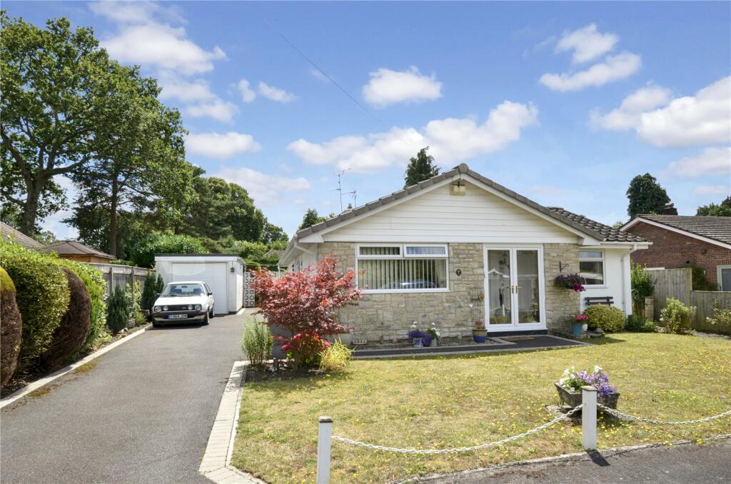
Properties For Sale in the Area
St Ives End Lane
Greenwood Way
61 metres away
Greenwood Way
61 metres away
Glenives Close
81 metres away
St Ives
97 metres away
St Ives
97 metres away
Schools
| Name | Type | Postcode | Distance | Rating |
|---|---|---|---|---|
| St Ives Primary & Nursery School | Nursery, Primary | BH24 2LE | 0.63 km | Not rated |
| Sheiling College | Special | BH24 2EB | 1.30 km | Good |
| Sheiling School | Special, Independent | BH24 2EB | 1.30 km | Good |
| Ringwood Waldorf School | Independent, Nursery, Primary, Post 16 | BH24 2NN | 1.66 km | Good |
| Ringwood Church of England Infant School | Primary | BH24 1LG | 3.31 km | Good |
Transport
Bus Stops & Stations
Details provided by Department for Transport
| Name | Distance |
|---|---|
| St Ives End Lane | 0.12 km |
| St Ives Shelter, Ringwood Road | 0.15 km |
| Footbridge | 0.15 km |
| Ashley Drive South | 0.18 km |
| Post Office Lane | 0.42 km |
Nearest Motorway
Details provided by Department for Transport
| Name | Distance |
|---|---|
| M27 | 19.41 km |
Coverage
- Average Broadband Speed:
-
4mb Basic
-
32mb Superfast
-
32mb Overall
- Mobile Coverage:
-
EEGood
-
O2Good
-
ThreeOkay
-
VodafoneOkay
5-7 Southampton Road, Ringwood, Hampshire, BH24 1HB
Recently Sold Properties in the Area
| Address | Property Type | Distance | Price | Completed |
|---|---|---|---|---|
|
143 Sandy Lane St. Ives, Ringwood, BH24 2LH |
Detached | 0.39 km away | £425,000 | 6 months ago |
|
8 Gainsborough Road Ashley Heath, Ringwood, BH24 2HY |
Detached | 0.56 km away | £665,000 | 4 months ago |
|
29 Fernwood Close St. Ives, Ringwood, BH24 2NQ |
Detached | 0.61 km away | £535,000 | 11 months ago |
|
21 Gainsborough Road Ashley Heath, Ringwood, BH24 2HY |
Detached | 0.61 km away | £600,000 | 3 months ago |
|
47 Woolsbridge Road St. Leonards, Ringwood, BH24 2LT |
Detached | 0.61 km away | £515,000 | 9 months ago |
|
21 Fernwood Close St. Ives, Ringwood, BH24 2NQ |
Detached | 0.64 km away | £590,000 | 3 months ago |
|
9 Lions Wood St. Leonards, Ringwood, BH24 2LU |
Detached | 0.68 km away | £540,000 | 7 months ago |
|
3 Lions Lane Ashley Heath, Ringwood, BH24 2HQ |
Detached | 0.69 km away | £690,000 | 2 months ago |
|
15 Woolsbridge Road St. Leonards, Ringwood, BH24 2LP |
Semi-Detached | 0.71 km away | £320,000 | 2 months ago |
|
6 Ashley Drive North Ashley Heath, Ringwood, BH24 2JL |
Detached | 0.72 km away | £535,000 | 6 months ago |
Important Notice - This report is intended for general informational purposes only and should act only as a guide. The report is produced automatically on behalf of Fells New Forest - Fells New Forest Property by Street Insights, a product of Street Systems Ltd. Street Systems maintains and aggregates data from multiple public data sources and whilst every effort is made to keep information up to date and accurate, we make no representations or warranties of any kind about the accuracy, reliability or completeness of the information contained within this report for any purpose. Any reliance you place on the data contained within this report is strictly at your own risk. In no event will Fells New Forest - Fells New Forest Property or Street Systems Ltd be liable for any loss or damage including without limitation, indirect or consequential loss or damage, or any loss or damage whatsoever arising from loss of data or profits arising out of, or in connection with, the use of this report.
This report contains public sector information licensed under the Open Government License v3.0
Transaction data and HPI data is produced by HM Land Registry. Crown copyright and database rights 2024