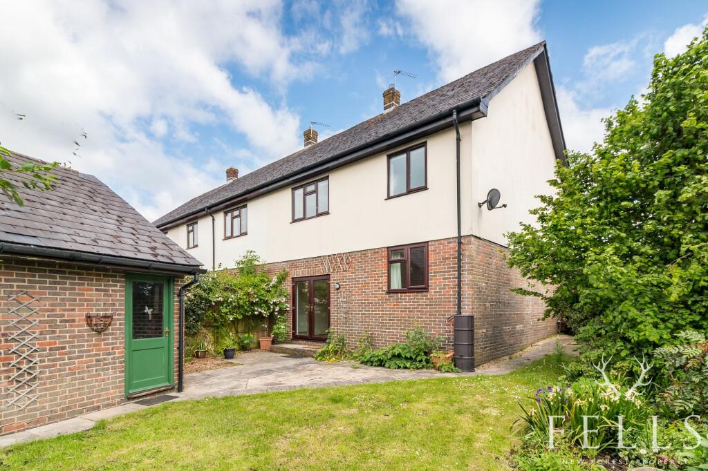
Buyer Information Report

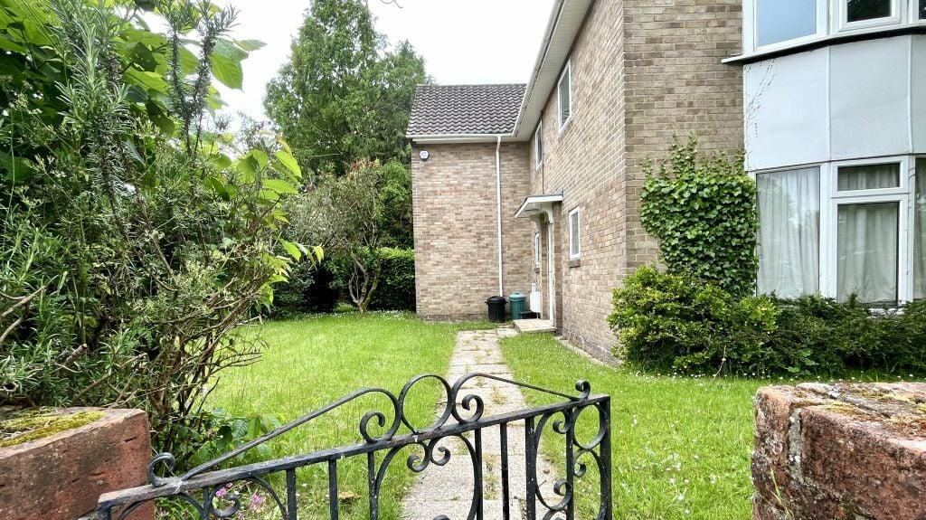
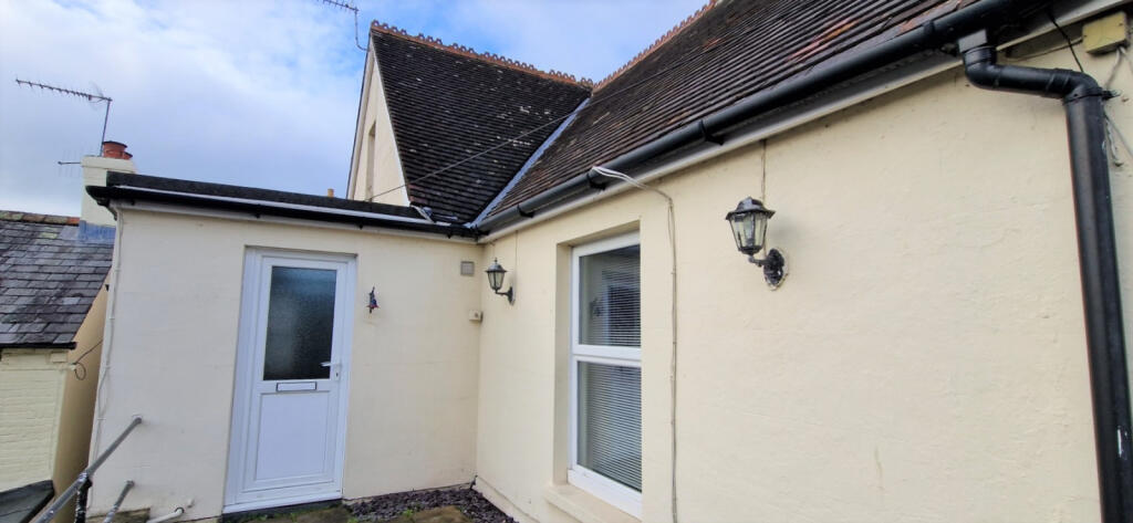
3 Frampton Place
Ringwood, BH24 1JW
Last Sold - Aug, 2019


Key Facts
About Us

Award Winning Estate Agents
If you’re looking for an estate agency that offers a genuine and friendly approach, then you are in the right place. Our reliable and honest advice is the foundation of our bespoke service, tailored just for you.
Whether you are seeking to buy or sell residential property, including Land and Development and Equestrian properties, character New Forest homes or town centre properties, we are perfectly placed to offer expert advice on properties in Hampshire and Dorset.
Find out more at www.fellsnewforest.co.uk
Generate a property report for your own property
Title Plan
 Contains OS data © Crown copyright 2024
Title Information
Details provided by the Land Registry
- Title Number
- HP266055
- Plot Size
- 0.06 acres (239 sq metres)
Street View
House Prices in New Forest
Last 12 months
-
Average Price Change
£25,048
Decreased by 6%
-
Terraced Price Change
£16,407
Decreased by 5%
Average House Prices
Last 12 months for all property types.
Since Last Sale - 9th August 2019
-
Average Price Change
£49,722
Increased by 15%
-
Terraced Price Change
£41,961
Increased by 17%
Average House Prices
Since last sale in 2019 for all property types
EPC

EPC Information
Details taken from the EPC register
- Date
- 2024-01-29
- Valid Until
- 2034-01-28
- Energy Efficiency - Current
- 63
- Energy Efficiency - Potential
- 81
- Environmental Impact - Current
- 56
- Environmental Impact - Potential
- 77
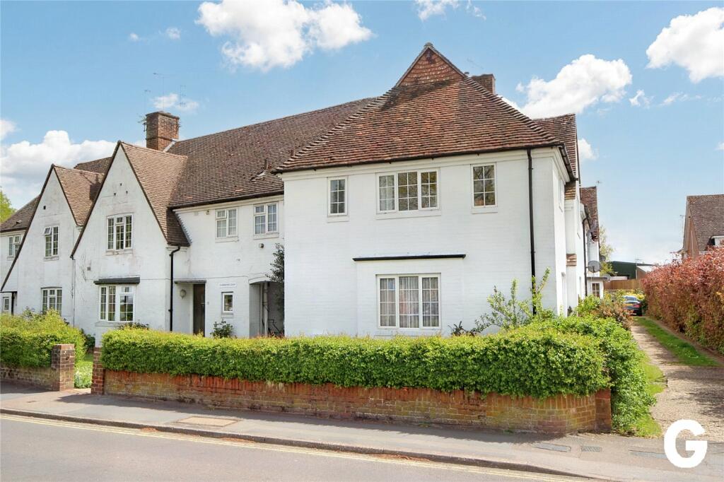
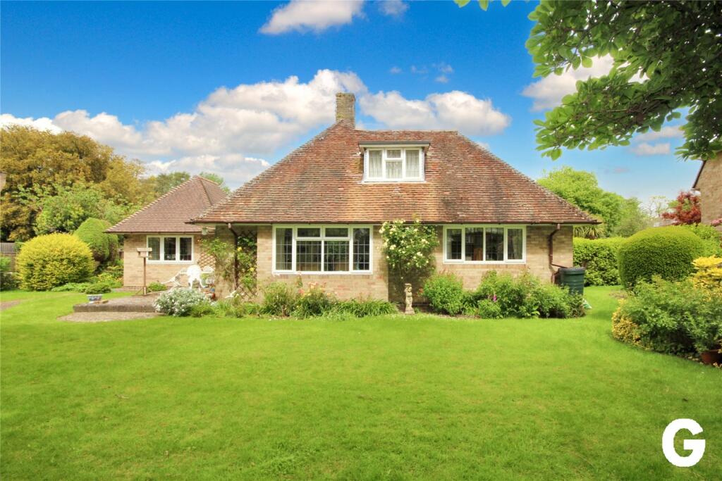
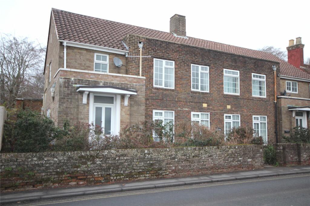
Properties For Sale in the Area
Frampton Place
Southampton Road
63 metres away
Southampton Road
74 metres away
Linden Gate
78 metres away
Linden Gardens
93 metres away
Manor Gardens
94 metres away
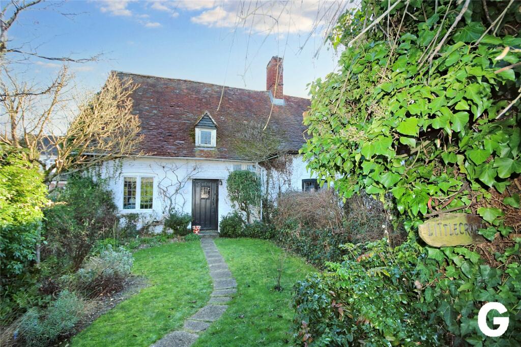
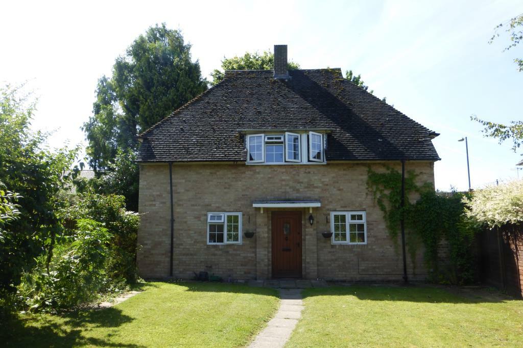
Properties To Let in the Area
Beechleigh Place
87 metres away
Ringwood
94 metres away
Ringwood
0.31 km away
Cottage Mews
0.32 km away
Ringwood
0.36 km away
1 Hunters Lodge
0.47 km away
Schools
| Name | Type | Postcode | Distance | Rating |
|---|---|---|---|---|
| Ringwood Church of England Infant School | Primary | BH24 1LG | 0.34 km | Good |
| Ringwood School Academy | Secondary, Post 16 | BH24 1SE | 0.34 km | Good |
| Ringwood Junior School | Primary | BH24 1NH | 0.62 km | Good |
| Poulner Junior School | Primary | BH24 3LA | 1.61 km | Good |
| Ringwood Waldorf School | Independent, Nursery, Primary, Post 16 | BH24 2NN | 1.67 km | Good |
Transport
Bus Stops & Stations
Details provided by Department for Transport
| Name | Distance |
|---|---|
| Carvers Park, Southampton Road | 98 metres |
| Meeting House Lane | 0.29 km |
| Ringwood School, Parsonage Barn Lane | 0.30 km |
| Medical Centre, B3347 Mansfield Road | 0.34 km |
| Highfield Drive | 0.48 km |
Nearest Motorway
Details provided by Department for Transport
| Name | Distance |
|---|---|
| M27 | 16.09 km |
Coverage
- Average Broadband Speed:
-
17mb Basic
-
50mb Superfast
-
50mb Overall
- Mobile Coverage:
-
EEGood
-
O2Good
-
ThreeGood
-
VodafoneGood
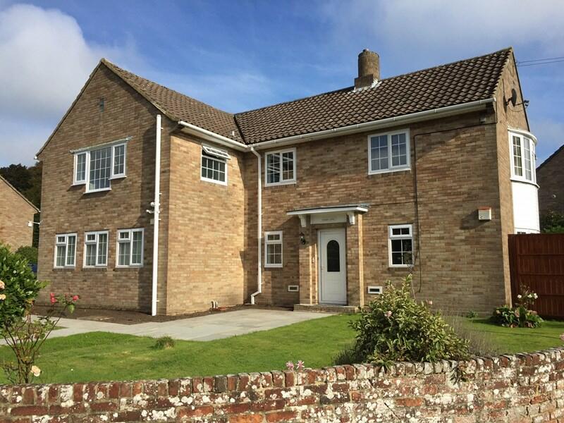
Recently Sold Properties in the Area
| Address | Property Type | Distance | Price | Completed |
|---|---|---|---|---|
|
2 Linden Gate, Linden Gardens Ringwood, BH24 1HG |
Detached | 78 metres away | £446,000 | 6 months ago |
|
1 Linden Gate, Linden Gardens Ringwood, BH24 1HG |
Flats/Maisonettes | 78 metres away | £220,000 | 7 months ago |
|
Flat 5, Oakley Court 46-52, Southampton Road Ringwood, BH24 1JD |
Flats/Maisonettes | 0.14 km away | £110,000 | 6 months ago |
|
11 Sovereign Place, The Close Ringwood, BH24 1JZ |
Flats/Maisonettes | 0.28 km away | £222,500 | 7 months ago |
|
1 Sovereign Place, The Close Ringwood, BH24 1JZ |
Flats/Maisonettes | 0.28 km away | £265,000 | 10 months ago |
|
7a, Parsonage Barn Lane Ringwood, BH24 1PS |
Detached | 0.30 km away | £340,000 | 11 months ago |
|
16 Salisbury Road Ringwood, BH24 1AS |
Semi-Detached | 0.31 km away | £790,000 | 11 months ago |
|
Flat 7, Cottage Mews, 27 Christchurch Road Ringwood, BH24 1DG |
Flats/Maisonettes | 0.32 km away | £140,000 | 5 months ago |
|
Flat 10, Cottage Mews, 27 Christchurch Road Ringwood, BH24 1DG |
Flats/Maisonettes | 0.32 km away | £172,500 | 9 months ago |
|
Flat 6, Cottage Mews, 27 Christchurch Road Ringwood, BH24 1DG |
Flats/Maisonettes | 0.32 km away | £114,000 | 6 months ago |
Important Notice - This report is intended for general informational purposes only and should act only as a guide. The report is produced automatically on behalf of Fells New Forest - Fells New Forest Property by Street Insights, a product of Street Systems Ltd. Street Systems maintains and aggregates data from multiple public data sources and whilst every effort is made to keep information up to date and accurate, we make no representations or warranties of any kind about the accuracy, reliability or completeness of the information contained within this report for any purpose. Any reliance you place on the data contained within this report is strictly at your own risk. In no event will Fells New Forest - Fells New Forest Property or Street Systems Ltd be liable for any loss or damage including without limitation, indirect or consequential loss or damage, or any loss or damage whatsoever arising from loss of data or profits arising out of, or in connection with, the use of this report.
This report contains public sector information licensed under the Open Government License v3.0
Transaction data and HPI data is produced by HM Land Registry. Crown copyright and database rights 2024