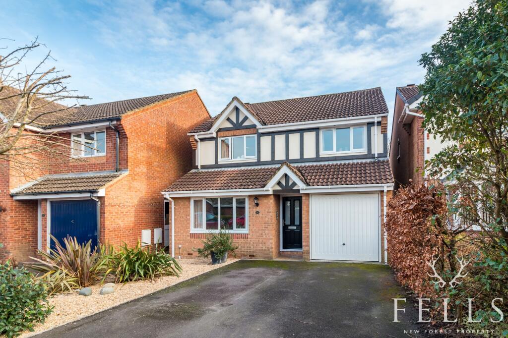
Buyer Information Report

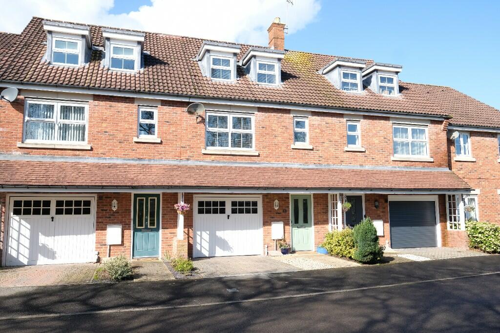
16 Willow Drive
Marchwood, Southampton, SO40 4JY
Last Sold - Jul, 2001


Key Facts
About Us

Your Local Five Star Estate Agents
If you’re looking for an estate agency that offers a genuine and friendly approach, then you are in the right place. Our reliable and honest advice is the foundation of our bespoke service, tailored just for you.
Whether you are seeking to buy or sell residential property, including Land and Development and Equestrian properties, character New Forest homes or town centre properties, we are perfectly placed to offer expert advice on properties in Hampshire and Dorset.
Find out more at www.fellsnewforest.co.uk
Generate a property report for your own property
Title Plan
 Contains OS data © Crown copyright 2024
Title Information
Details provided by the Land Registry
- Title Number
- HP524928
- Plot Size
- 0.06 acres (230 sq metres)
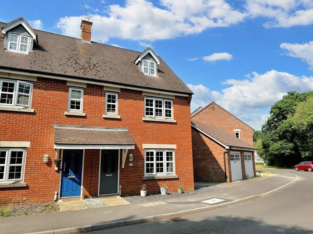
Street View
House Prices in New Forest
Last 12 months
-
Average Price Change
£10,110
Decreased by 2%
-
Detached Price Change
£16,249
Decreased by 3%
Average House Prices
Last 12 months for all property types.
Since - June 2019
-
Average Price Change
£68,328
Increased by 21%
-
Detached Price Change
£101,313
Increased by 21%
Average House Prices
Since 2019 for all property types
EPC

EPC Information
Details taken from the EPC register
- Date
- 2014-05-24
- Valid Until
- 2024-05-23
- Energy Efficiency - Current
- 64
- Energy Efficiency - Potential
- 79
- Environmental Impact - Current
- 63
- Environmental Impact - Potential
- 78
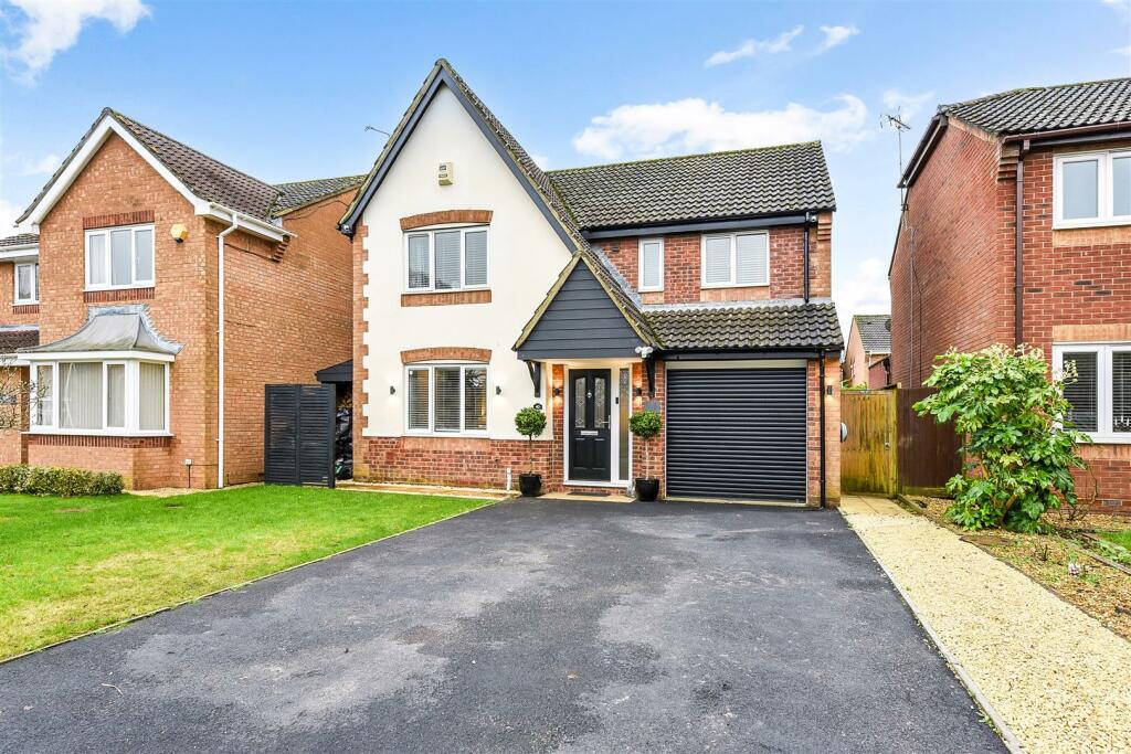
Properties For Sale in the Area
Willow Drive
Larkspur Drive
73 metres away
Willow Drive
73 metres away
Willow Drive
80 metres away
St. Contest Way
0.11 km away
St. Contest Way
0.12 km away
Schools
| Name | Type | Postcode | Distance | Rating |
|---|---|---|---|---|
| Marchwood Church of England Infant School | Primary | SO40 4ZE | 0.22 km | Good |
| Marchwood Junior School | Primary | SO40 4ZH | 0.59 km | Outstanding |
| Greenwood School | Pru | SO45 5UQ | 3.08 km | Good |
| Freemantle Church of England Community Academy | Nursery, Primary | SO15 3BQ | 3.37 km | Good |
| Tanners Brook Primary School | Primary | SO15 4PF | 3.42 km | Good |
Transport
Bus Stops & Stations
Details provided by Department for Transport
| Name | Distance |
|---|---|
| The Pilgrim Inn, Hythe Road | 0.12 km |
| Twiggs Lane | 0.20 km |
| Marchwood Station, Main Road | 0.38 km |
| St Johns Church, Main Road | 0.43 km |
| Ferndale Road | 0.47 km |
Train Stations
Details provided by Department for Transport
| Name | Distance |
|---|---|
| Millbrook (Hants) Rail Station | 3.10 km |
| Southampton Central Rail Station | 3.59 km |
| Redbridge (Hants) Rail Station | 3.95 km |
| Totton Rail Station | 4.11 km |
Nearest Motorway
Details provided by Department for Transport
| Name | Distance |
|---|---|
| M271 | 5.00 km |
Coverage
- Average Broadband Speed:
-
4mb Basic
-
68mb Superfast
-
1000mb Ultrafast
-
1000mb Overall
- Mobile Coverage:
-
EEOkay
-
O2Good
-
ThreeOkay
-
VodafoneOkay
5-7 Southampton Road, Ringwood, Hampshire, BH24 1HB
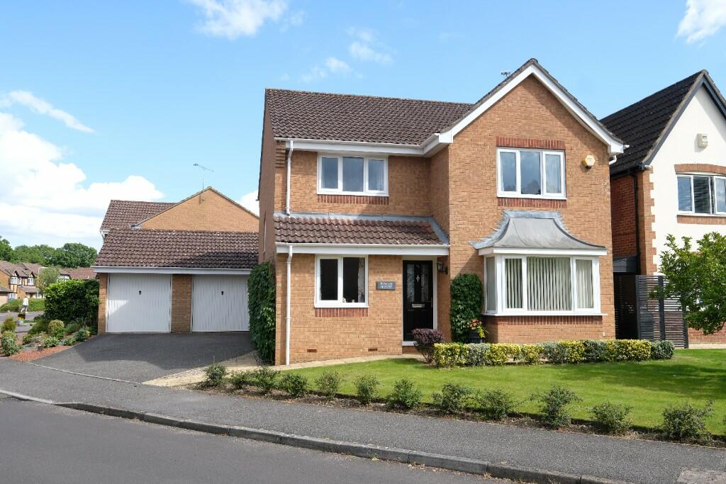
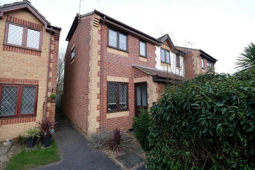
Recently Sold Properties in the Area
| Address | Property Type | Distance | Price | Completed |
|---|---|---|---|---|
|
9 Willow Drive Marchwood, Southampton, SO40 4JY |
Terraced | 89 metres away | £235,000 | 7 months ago |
|
22 St. Contest Way Marchwood, Southampton, SO40 4TW |
Detached | 95 metres away | £365,000 | 8 months ago |
|
New Oaks, Hythe Road Marchwood, Southampton, SO40 4WU |
Detached | 0.14 km away | £557,500 | 10 months ago |
|
29 Larkspur Drive Marchwood, Southampton, SO40 4JX |
Terraced | 0.17 km away | £230,000 | 1 month ago |
|
39 Africa Drive Marchwood, Southampton, SO40 4WE |
Other | 0.18 km away | £2,800,000 | 3 months ago |
|
Highfield, Twiggs Lane Marchwood, Southampton, SO40 4UP |
Detached | 0.21 km away | £485,000 | 4 months ago |
|
114 Africa Drive Marchwood, Southampton, SO40 4WG |
Flats/Maisonettes | 0.26 km away | £169,000 | 11 months ago |
|
5 Plantation Drive Marchwood, Southampton, SO40 4YL |
Terraced | 0.33 km away | £265,000 | 8 months ago |
|
5 Lakeland Gardens Marchwood, Southampton, SO40 4XG |
Detached | 0.34 km away | £530,000 | 9 months ago |
|
19 Philpott Drive Marchwood, Southampton, SO40 4XZ |
Detached | 0.35 km away | £370,000 | 11 months ago |
Important Notice - This report is intended for general informational purposes only and should act only as a guide. The report is produced automatically on behalf of Fells New Forest - Fells New Forest Property by Street Insights, a product of Street Systems Ltd. Street Systems maintains and aggregates data from multiple public data sources and whilst every effort is made to keep information up to date and accurate, we make no representations or warranties of any kind about the accuracy, reliability or completeness of the information contained within this report for any purpose. Any reliance you place on the data contained within this report is strictly at your own risk. In no event will Fells New Forest - Fells New Forest Property or Street Systems Ltd be liable for any loss or damage including without limitation, indirect or consequential loss or damage, or any loss or damage whatsoever arising from loss of data or profits arising out of, or in connection with, the use of this report.
This report contains public sector information licensed under the Open Government License v3.0
Transaction data and HPI data is produced by HM Land Registry. Crown copyright and database rights 2024